


Montana news roundup: Co-operatives discuss wildfire season & load growth, and an update on operations at Libby & Hungry Horse Dams
Presentation details history of Ice Age flooding in Columbia River Basin
- June 26, 2025
- Peter Jensen
At the June meeting held in Missoula, the Council heard presentations from representatives of electric co-operatives serving rural communities in western Montana, about the status of operations at Libby and Hungry Horse Dams, and about the Ice Age flooding that swept through the Columbia River Basin thousands of years ago.
Montana co-op presentation
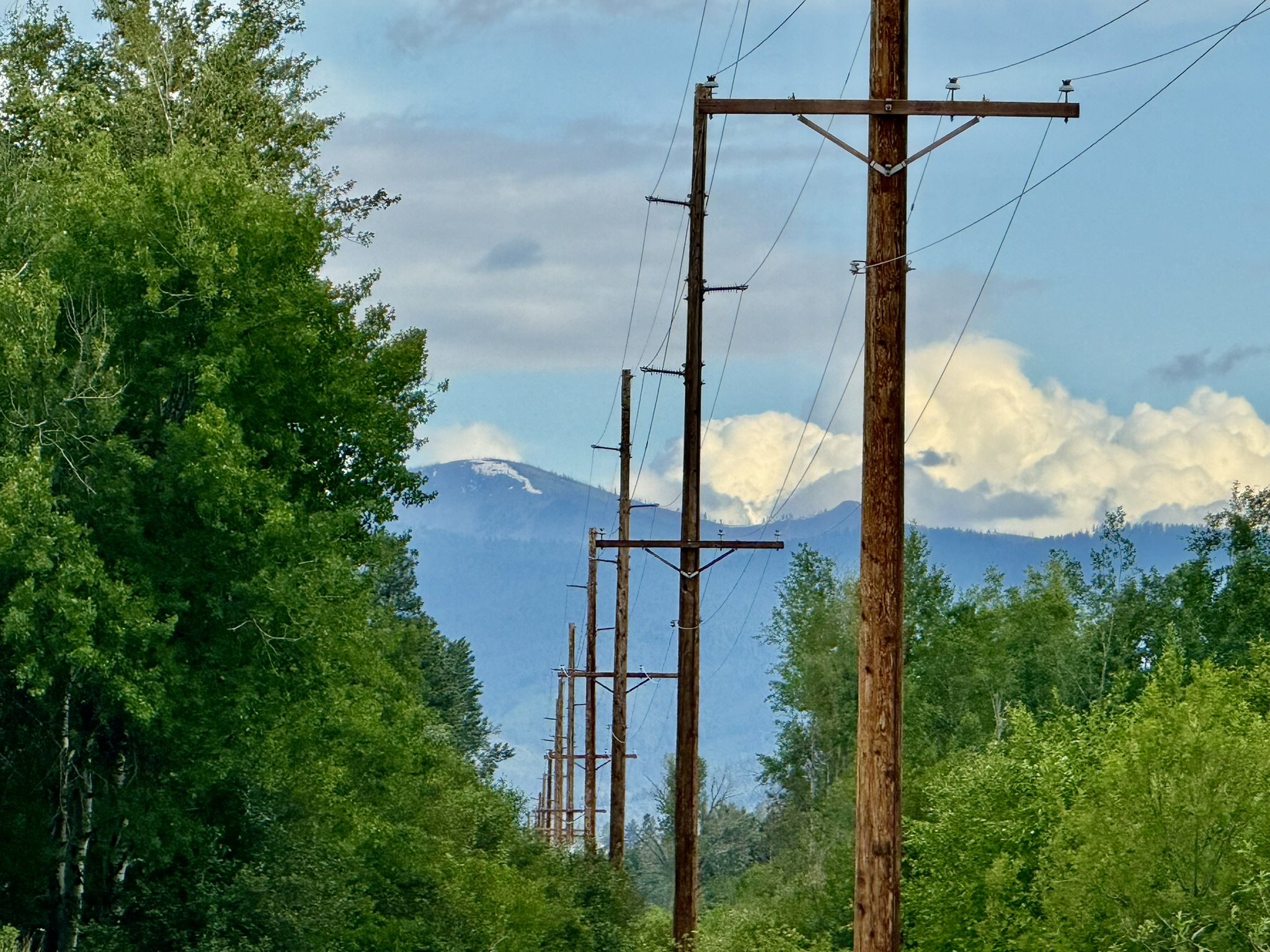
Mark Hayden, General Manager of Missoula Electric Cooperative, and Rex Griffin, Director of Ravalli Electric Co-op, spoke about planning for and addressing load growth in their service territories, the looming wildfire season in western Montana, and constraints in the regional transmission system (read presentation | watch video).
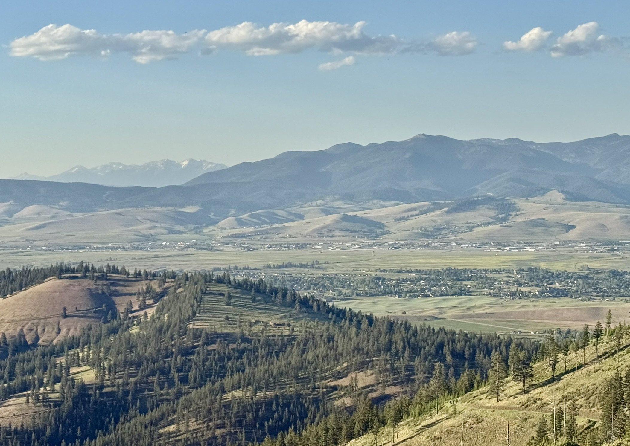
MEC serves over 17,000 customers in western Montana and a small portion of eastern Idaho (although not the city of Missoula). During the Council’s meeting on June 10-11, western Montana and the entire Pacific Northwest were experiencing a late spring heatwave, with temperatures climbing above 90 degrees F in Missoula.
Hayden remarked that there’s typically a transition period between spring snowmelt and the fire season in Montana, but this period didn’t last very long in 2025. Almost two-thirds of the state are experiencing some level of drought or abnormal dryness, with the worst conditions in western Montana.
Hayden said the co-op has been working year-round to prepare their system for hot, dry weeks like the one that occurred in mid-June, and uses predictive tools to gauge on-the-ground conditions that are ripe to start fires. To reduce risks of wildfire ignition, they’ve also been using grant funding to underground power lines in the Seeley Lake and Rock Creek drainage areas of their service territories, as well as upgrade the system to incorporate more automation.
The increased costs of wildfire preparedness and prevention have dovetailed with recent load growth in MEC’s service territory, Hayden said. Thanks to remote work opportunities and increased interest in the lifestyle in rural Montana, more people are moving into the Missoula area, he said. Montana has ranked eighth in the nation for in-migration of new residents since 2020, and most of that has been concentrated in the western part of the state, according to the Montana Department of Labor & Industry. That’s resulted in higher peak loads and more energy consumption for the co-op, Hayden said.
Their peak load was 57.1 MW in 2021, which grew to 71.6 MW in 2024. Growth has tapered off this year. From 2011-2019, MEC’s load was relatively flat and was able to stay just below the Tier 1 allocation of power purchased from Bonneville Power Administration. The new growth has significantly outpaced that. Over the past year and a half, he estimated that about 20 percent of MEC’s load has been met with Tier 2 market-based power that is more expensive than Tier 1. He said that has resulted in a rate impact to co-op members.
He said that reliance on Tier 2 power from BPA will continue as the loads continue to grow. That was one factor that led MEC to join PNGC Power, which represents 25 electric cooperatives across Montana, Idaho, Wyoming, Utah, Nevada, Oregon, and Washington. He said PNGC is aiming to complement and augment BPA’s system for electric cooperatives that serve rural communities in those states by developing solar, battery storage, and baseload power resources.
“We are working to actively shape our own energy future,” Hayden said.
Ravalli Electric Co-op serves 12,000 customers in the Bitterroot Valley and is also joining PNGC because of the need to develop new generating resources, Griffin said.
“Bonneville is still the heart of the Northwest,” Griffin said. “It always has been. There’s a lot of constraints in that transmission system. There’s just a huge demand on Bonneville’s system. New generation takes lots of time, so now is the time to get started.”
Libby and Hungry Horse operations
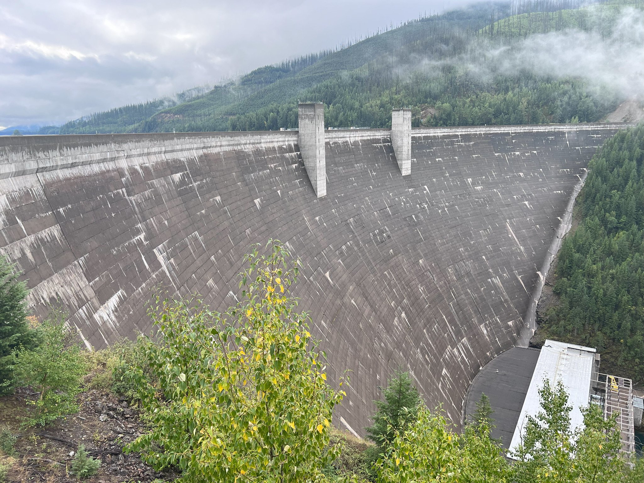
In northwestern Montana, Libby and Hungry Horse Dams provide 40 percent of water storage on the U.S. side of the Columbia River Basin. Over the past 30 years, the Council has worked collaboratively with partners in Montana and in the federal government to shift operations at these dams.
The changes have helped to reduce their negative effects on ecosystem function and fish populations in the reservoirs and rivers immediately downstream of these projects. Brian Marotz, formerly with Montana Fish Wildlife & Parks and now consulting, and Matt Boyer, Montana FWP’s Region 1 Science Program Supervisor, led a presentation on the status of these operations. (Read presentation | watch video)
Prior to these changes, dam operations significantly altered the natural river hydrography by storing water during spring runoff to manage flooding, and then releasing water, primarily during the fall and winter, to produce electricity. These operations also included an unnatural pulse of water out of the dams in the summer that impacted both the reservoirs and rivers.
Dam managers made these operational changes while still maintaining effective local and system-wide flood risk management and providing multiple benefits from two of the Columbia Basin’s highest elevation storage projects. In consultation with the Confederated Salish and Kootenai Tribes, FWP and the Council’s Montana office wrote a report analyzing the operations and benefits including:
- Hydropower production at both dams, and more importantly, all downstream dams;
- Assisting migration and recovery of endangered salmon and steelhead in the lower Columbia Basin;
- And reducing winter drafts of both reservoirs, providing more stable reservoir ecosystems and increasing the likelihood of reservoir refill during summer, which is important for fish and wildlife, recreation, and other uses.
Ice Age flooding
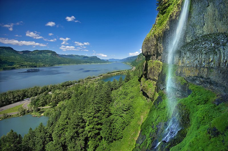
The June meeting featured a presentation on the Ice Age flooding that occurred when glacial Lake Missoula burst forth thousands of years ago and swept across the Columbia Basin, carving the cliffs in the Gorge that resulted in the series of picturesque waterfalls that are visible today. James Sheldon of the Glacial Lake Missoula Chapter of the Ice Age Flood Institute led the presentation (read slides | watch video).
The flooding was one of the most cataclysmic events in Earth’s history. Backing up behind an enormous ice dam in the Idaho panhandle, glacial Lake Missoula covered swaths of western Montana with water 1,000 feet deep. Approximately 16,000 years ago, the ice dam failed. Over the next 3,000 years, it re-occurred cyclically, totaling between 40 and 100 events. The combined energy of these floods was twice that of the asteroid impact that hit Earth 66 million years ago and caused dinosaurs to go extinct, according to researchers.
Scientists have modeled hour-by-hour recreations of the Missoula Floods and estimate that episodes spanned less than 72 hours from start to finish, according to the Ice Age Flood Institute.