


How the Program Tracker informs the Fish and Wildlife Program
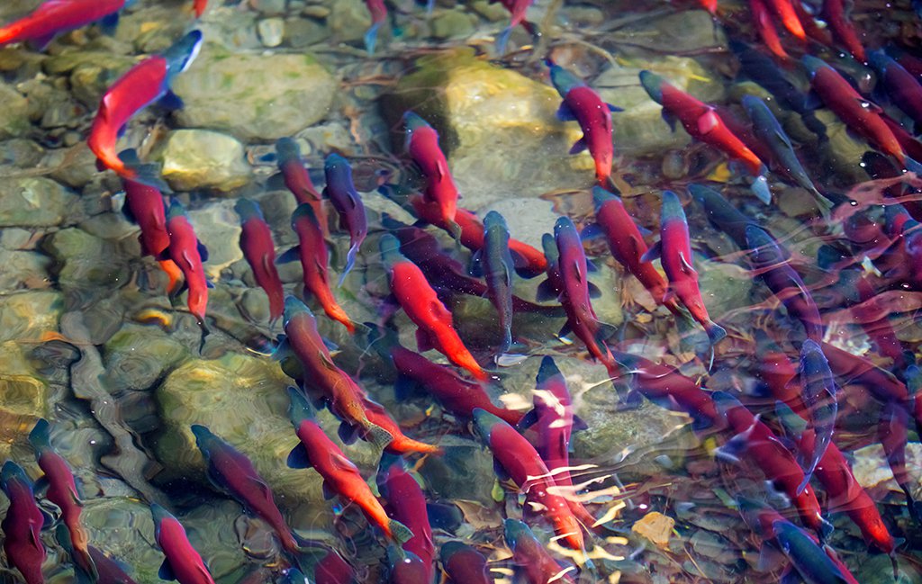
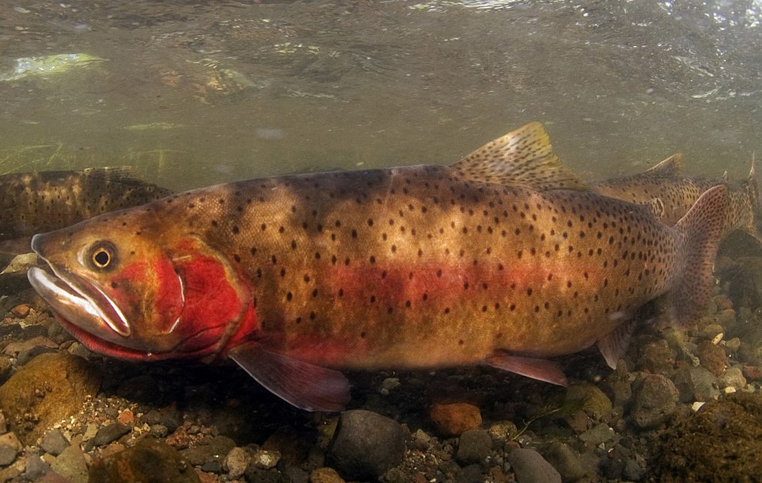
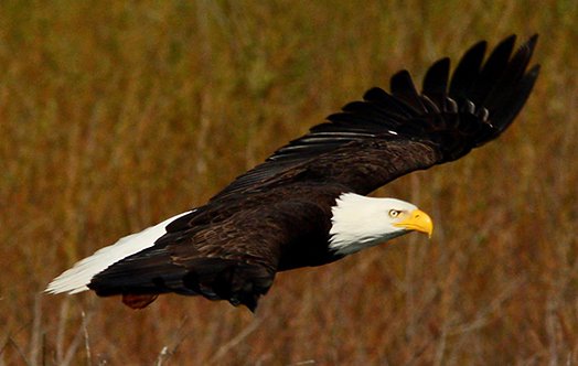
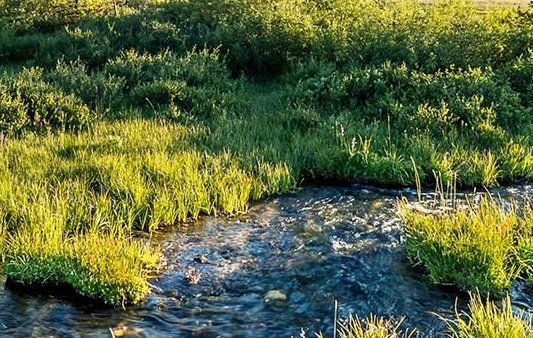
The Council’s Columbia River Basin Fish and Wildlife Program is one of the largest mitigation efforts in the world, encompassing over 40 years of multidisciplinary work throughout the entire Columbia Basin.
The Council amends the Program every five years based on recommendations from state and federal agencies, tribes, and others. As we prepare for the next amendment process, the Program Tracker has been developed to assess progress toward the Program’s Goals and Objectives and provide data on the Strategic Performance Indicators as described in the 2014/2020 Program.
Performance indicators by Program goal and objective
View goals, objectives and indicators by Program category below, or jump to specific performance indicators under each category.
GOALS AND OBJECTIVES:
PERFORMANCE INDICATORS:
More Program Tracker tools
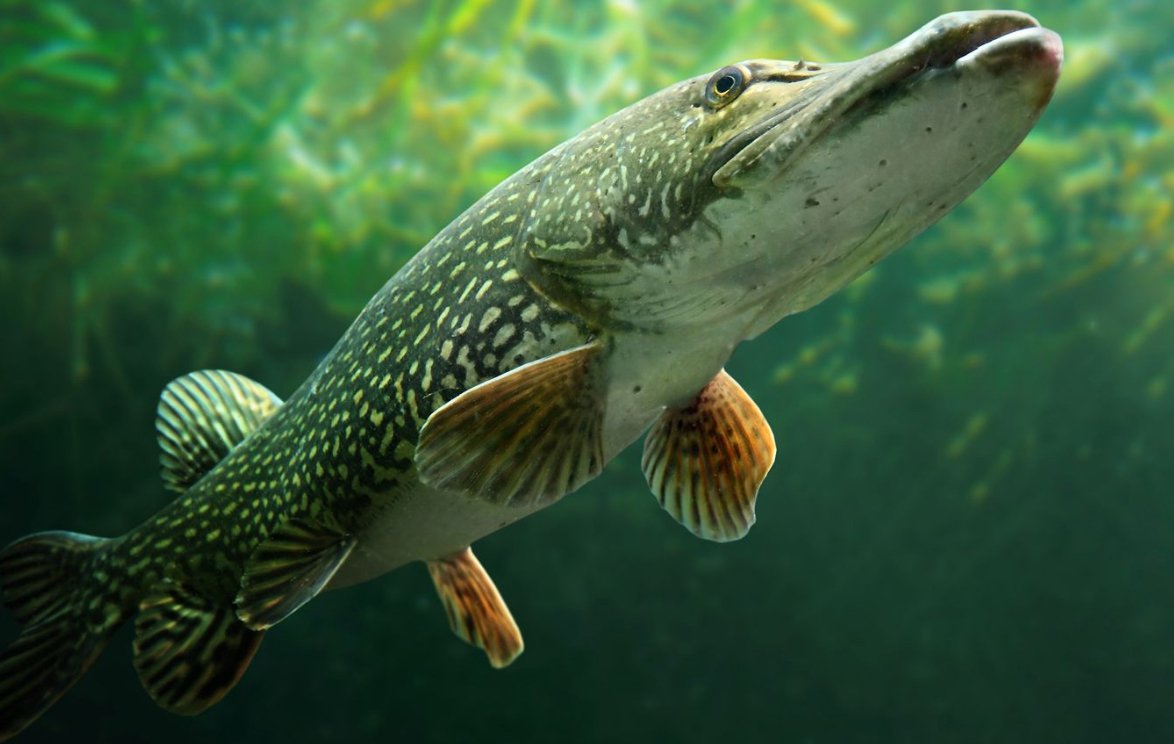
HATCHERIES AND ARTIFICIAL PRODUCTION
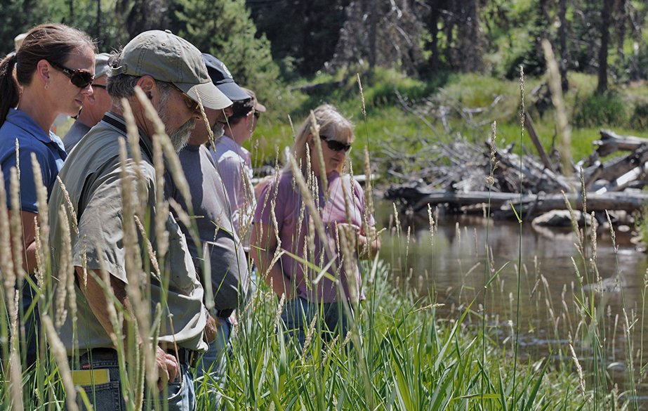
Maps, assessments and project details on artificial production facilities in the basin, plus stories on the history and future of hatcheries.
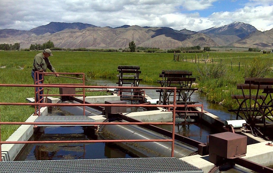
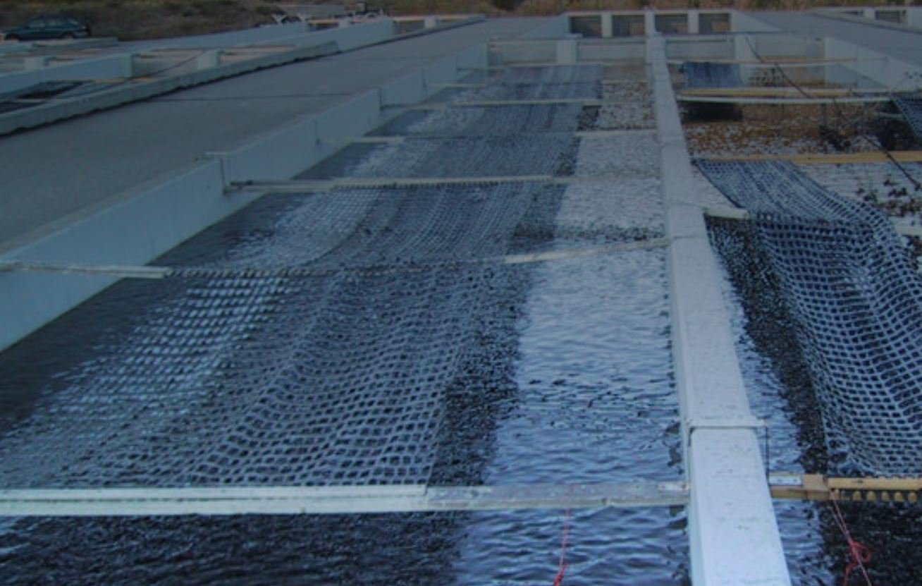
Maps and project details on over 1,800 fish screens in the basin, plus an overview and background.
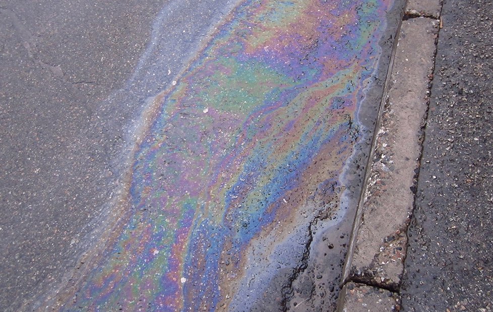
TOXIC CONTAMINANTS
Map of Polycyclic Aromatic Hydrocarbons (PAHs) based on data from various monitoring sources. (Temporarily offline in April 2026)
|
MORE RESOURCES |